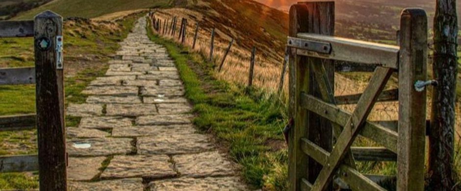
Trails
Whaley Bridge Town Trail
Take the time to find out more about the history of the town and the surrounding area. See how Whaley Bridge’s industry developed.
About
Distance: 2.0 miles / 3.0 km (45 minutes) Going: Good, firm paths throughout. Pace: Easy walking, but in places not suitable for wheelchairs
Take the time to find out more about the history of the town and the surrounding area. See how Whaley Bridge’s industry developed.
Respect, Protect, Enjoy Whether you're a regular or brand new visitor, we want to make your trip to the Peak District & Derbyshire as safe, easy and enjoyable as possible. Ensure your visit is a responsible one by following the Countryside Code and stay #PeakDistrictProud by keeping dogs on a short lead, parking only in designated areas, sticking to public rights of way where you can, saying no to BBQs and open fires, and taking your litter home with you.
Walk courtesy of High Peak Borough Council.
Trail directions
The walk starts at the Whaley Bridge canal basin. The Peak Forest Canal was opened at the beginning of the nineteenth century. The Canal Transhipment Warehouse (a class 2* listed building) was built in 1832 across the end of the canal. Coal and limestone were exported through the basin, whilst cotton came into the mills. The Cromford and High Peak Railway (C&HP) connected with the canal, entering the building at both sides of the canal. Commercial traffic ceased in the 1920’s.
From the canal basin follow the road past the town centre car park. The DIY buildings were formerly stabling for railway horses. The houses across the river occupy the former site of Goyt Mill. Crossing the River Goyt by the old railway bridge, continue up the incline. This was the first of many inclines on the C&HP Railway. It was too steep for locomotives and so wagons were hauled up by horses turning a capstan. Two of the guides for the haulage chains can be seen at the top of the incline.
It is worth a short diversion on reaching Old Road – the site of a former level crossing – to view the building at the bottom of Bings Road (left and left again). This was a ventilation shaft for the Waterloo Pit, one of Whaley Bridge’s many coalmines. Mining started in Whaley in the 16th century but ceased before World War 2.
Returning to Old Road, you now continue to follow the path of the C&HP Railway along Caldene Terrace towards a small industrial estate. At the end of the houses turn right and descend to Buxton Road. Turn left under the railway bridge and follow the main road past the Cock Inn. A few metres beyond the Inn and before the houses, turn left onto a narrow path. This crosses a small feeder channel from Combs Reservoir to the canal.
Continue the short climb until you rejoin the old railway track bed. The path follows the railway, passing through a short tunnel under Chapel Road towards a small industrial estate, the Cromford Court Sheltered Accommodation and the Shallcross Incline. (A separate leaflet guiding you on the ‘Shallcross Trail’ can be picked up at the town car park). Various remains of the railway can be seen along this stretch.
Immediately after going through the tunnel turn right climbing the steps onto Chapel Road. Turn left and descend to the crossroads. Cross Buxton Road at the traffic lights into Macclesfield Road (B5470). After crossing over the Goyt, turn right into Goyt Road and continue into Memorial Park. In the park take the wide path to the left, passing the War Memorial, and then the next path to the left up the path to Toddbrook Dam. (To avoid this short climb and stiles continue through the park passing the children’s playground).
Crossing the dam gives good views of the surrounding hills and over Whaley Bridge. This reservoir is a feeder for the canal (the highest in England). Turn right after continuing across the dam onto Reservoir Road. In a few metres turn left through a small metal gate to Brookfield Pond. This former millpond for Bingswood works is now a nature reserve. Returning to the entrance and rejoining the road, turn left, descending the hill.
On the right is another entrance to the park, where those not going over the dam will emerge.
About 80m before the railway bridge (opposite house no 9) turn right through a gap in the hedge and descend steps. Pass under the railway bridge. The small courtyard on the left used to be a bakehouse. Turn left into Market Street, pass the Mechanics Institute and return to the canal basin.
Sign up to our newsletter
Receive the latest news, special offers, ideas and inspiration straight to your inbox by signing up to the Visit Peak District & Derbyshire e-newsletter.